Why do the oaks around Columbia need clearing?
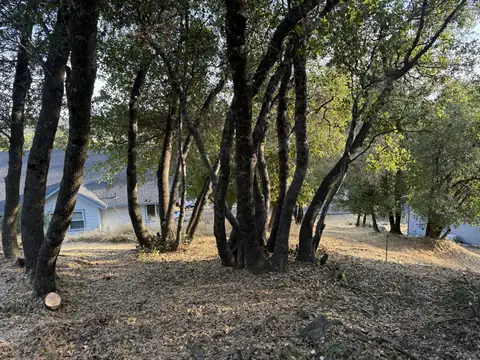
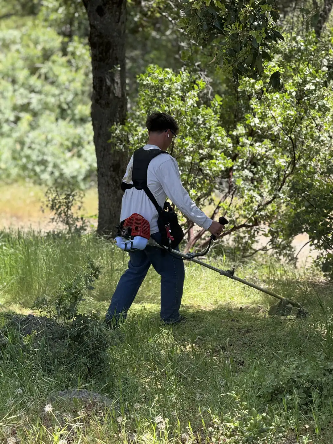
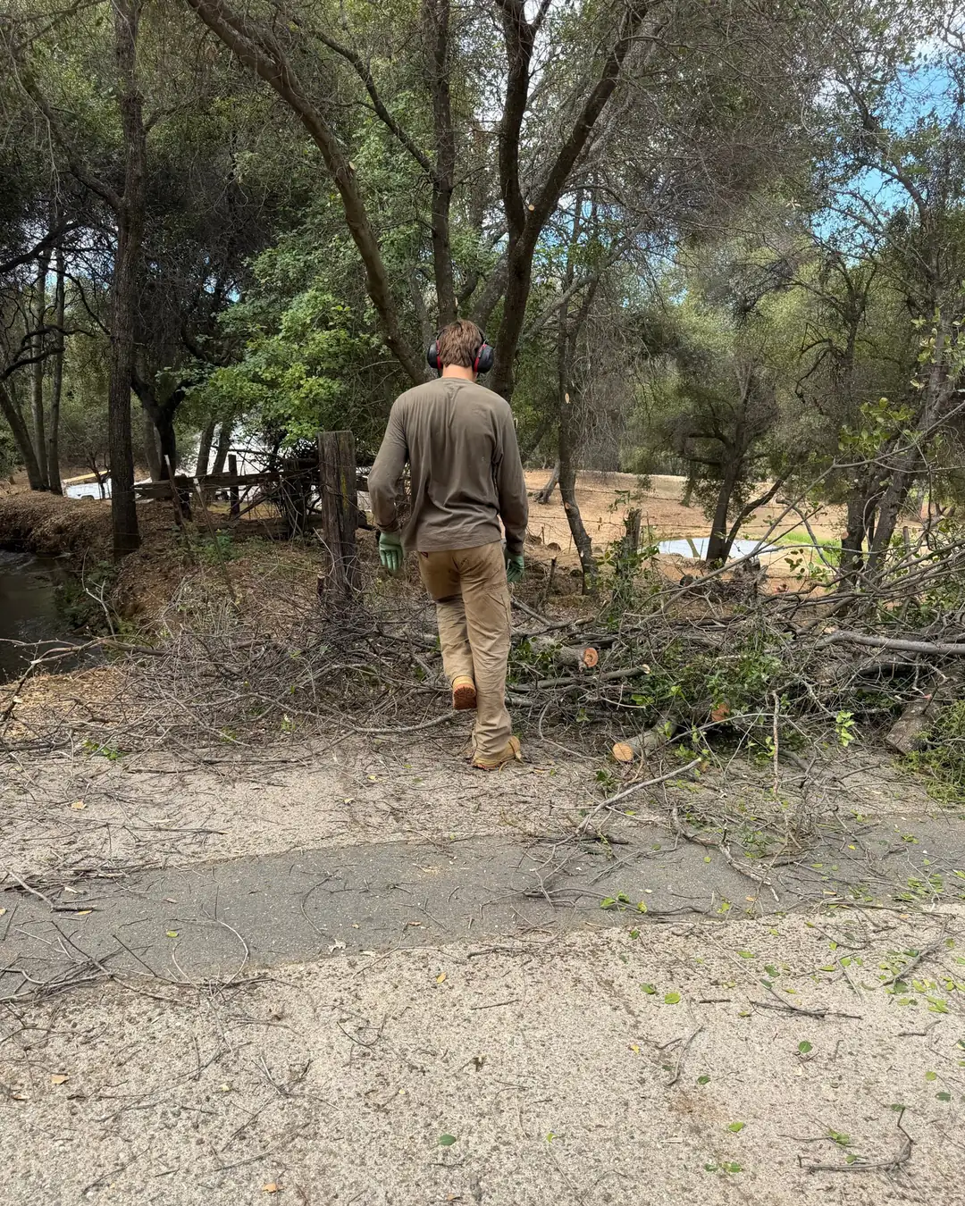
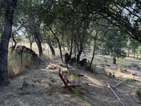
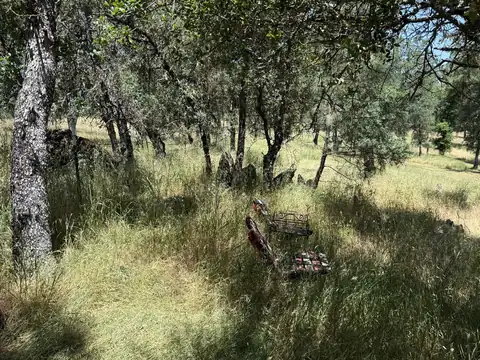
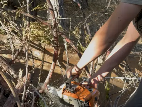
Columbia sits three miles north of Sonora, off Highway 49, in the oak band of the foothills: blue, valley, canyon live and interior live oaks with gray pine, over grass, with chamise, deer brush and manzanita on the south-facing slopes (Tuolumne County's 2024 wildfire plan). Dead limbs and brush under an oak work as a ladder, letting a ground fire climb into the canopy. So the work here is mostly hand work: chainsaws for the dead limbs, brush cutters for the brush, and the oaks limbed up to at least 6 feet, as CAL FIRE's spacing guidance asks.
Columbia's town center is mapped Very High, the highest rating on the 2024 state map; zones change parcel by parcel, so check your address. Columbia is unincorporated, so state law applies, inspected by CAL FIRE's Tuolumne-Calaveras Unit, with the county's Chapter 8.14 on top. In a Very High zone, selling a house means giving the buyer AB 38 defensible space documentation, or agreeing the buyer gets it within a year of closing. Our page on defensible space rules in Tuolumne County covers both.
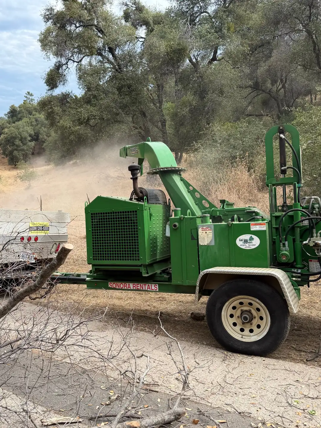
Columbia has no transfer station, so we haul to the green waste site on Camage Avenue in Sonora with the dump fees in the price, or chip on site.